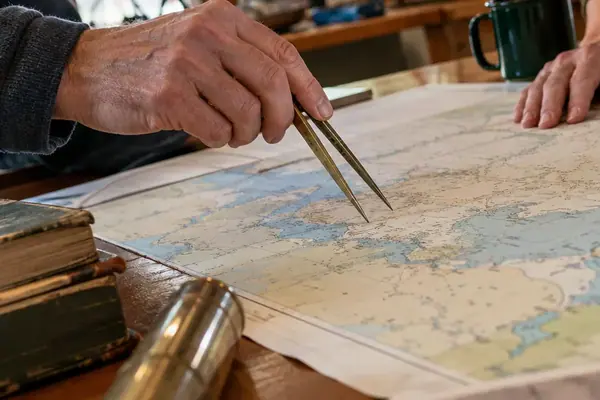
A circumnavigation is a claim about time and geography before it is anything else. It asserts that one named skipper, aboard one named vessel, occupied a continuous sequence of positions that closes on itself. Everything the Solo Circumnavigators Registry asks for exists to make that assertion testable by someone who was never aboard.
Slocum's 46,000 Miles and What Actually Survived Scrutiny
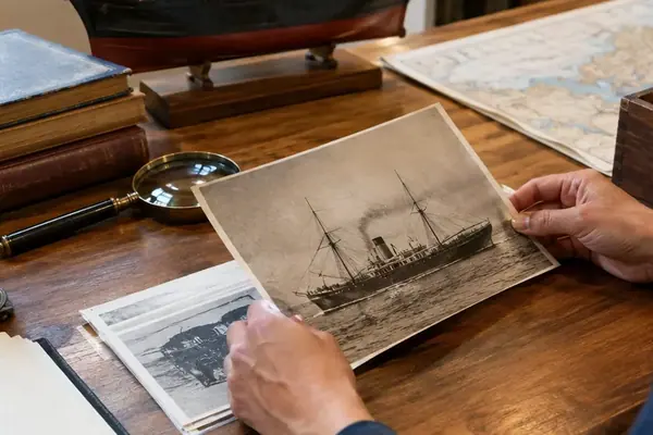
Captain Joshua Slocum sailed from Boston on April 24, 1895, and brought the Spray to Newport, Rhode Island, on June 27, 1898, having covered roughly 46,000 miles alone. No satellite watched him. His claim withstood a century of examination because of handwritten records, stamped port clearances, and independent attestations left behind at every place he touched.
That is the evidentiary lineage the society archives inherit. The paper held up. It still does.
The practical stakes for a modern applicant are blunt: an undocumented voyage remains a private memory, however genuine. Registry consideration rests on two parallel evidence streams that can be tested against each other — a contemporaneous handwritten log kept at sea, and raw time-position records exported from marine navigation equipment without alteration. Neither stream alone answers the question. Read together, they either resolve to a single voyage chronology or they do not.
Ink, Sequence, and the Bound Working Log
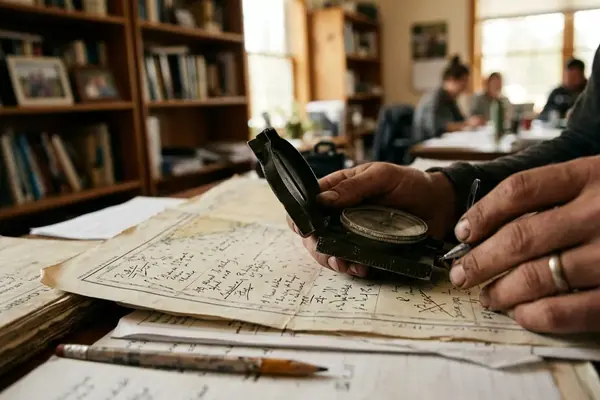
The bound logbook is the primary record because ink preserves what a clean file cannot: sequence, handwriting variation under fatigue, visible corrections, and the limits of what the skipper actually knew at the moment of writing. A reviewer reads pressure trends the way the sailor experienced them, hour by hour, with no hindsight.
One dated entry per UTC day. That is the floor, and it does not bend for calm weather or fast passages.
Each noon entry carries the latitude and longitude in degrees and minutes, identified as GPS, celestial, or dead-reckoned. State plainly whether bearings and wind directions are true or magnetic, and hold that convention for the entire voyage. Record barometric pressure in hectopascals, wind in knots or on the Beaufort scale, and sea condition on a named scale or by observed wave height. Sail configuration and material events belong in the same entry.
Two situations demand more detail than routine days:
- Instrument outage: add dead-reckoned positions at intervals no longer than four to six hours, with course steered, estimated speed, current allowance, and leeway.
- Route deviation: enter the decision time in UTC, the position, the immediate cause, the new course, and the time or position at which the original route was rejoined.
A typed fair copy may accompany the dossier for legibility. It cannot replace the bound working log. Applications fail on uniformly rewritten entries that suggest retroactive composition, missing environmental observations, unexplained removed pages, or corrections buried under erasure. A reviewer cannot reconstruct a barometric trend that was never written down at sea, and the archive assesses only what physically reaches it.
Raw GPX Exports and the Six-Hour Ocean Gap
Digital tracking tests the paper log. It does not replace it, because saltwater intrusion, power loss, and hard resets are ordinary offshore events rather than exotic ones.
Configure a dedicated chartplotter or satellite tracker before departure. Verify the unit's clock is set to UTC. Preserve its native recording interval rather than downsampling to whatever the satellite service reports. Offshore reports should run at four-to-six-hour intervals or tighter; the higher-frequency chartplotter track stays intact alongside them.
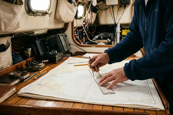
Export GPX or KML files without smoothing, joining, deleting, or redrawing any segment. A maximum six-hour separation between offshore reports gives reviewers a workable continuity check. Beyond that boundary, the paper log must bridge the missing electronic track with timed dead-reckoned positions and an explicit account of the failure.
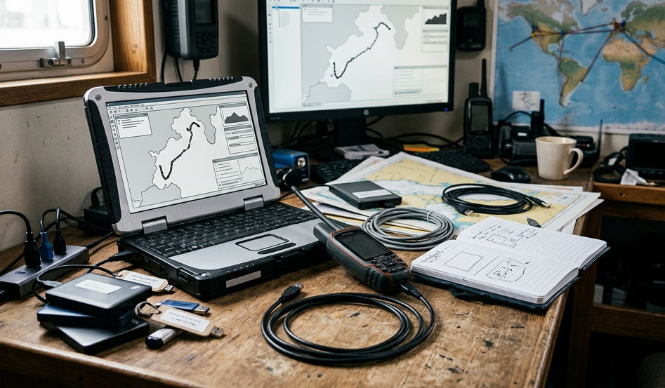
Export discipline at sea
- Export raw data at least once every 7 to 14 days, and immediately after a long passage, an emergency landfall, a hard reset, or a navigation-unit warning.
- Keep two offline copies on separate storage devices, one sealed in a dry container. Never reopen or overwrite a previous export when adding the next batch.
- Log every tracking gap on paper: last valid fix, first restored fix, outage duration, suspected cause, and any reset or wiring repair performed.
- Calculate a SHA-256 checksum after each export and retain it in a plain-text manifest, so the review copy can be compared against the voyage copy without touching the track.
Where GPX Files Lose Credibility
A track that has been opened, trimmed, and re-saved in charting software is no longer raw, and reviewers can usually tell. Treat the raw-data folder as read-only from the moment of export.
Stamps, Signatures, and the Cape Horn Photo Sequence
Independent verification matters at every point where an official or outside observer can tie skipper, vessel, place, and date together. Departure and final arrival carry the heaviest documentary weight. Every emergency landfall deserves identical treatment, because each one alters the continuity narrative.
Acceptable third-party proof includes stamped outward and inward clearance papers where they are issued, plus customs or immigration records showing vessel name, skipper's name, port, and date. Where no formal clearance exists, ask the harbormaster to sign and date a log entry, and record the office, the port, and a means by which the archive can verify the signatory later.
At Cape Horn, the Cape of Good Hope, or any other defining waypoint, build a short image sequence within a five-to-ten-minute window: the landmark or coastal profile, the vessel's fixed compass or chartplotter, and an unobstructed view from the vessel. Preserve the original files with embedded timestamps and original filenames, and list the corresponding UTC time and logbook page. Screenshots and social-media copies strip exactly the metadata that makes the sequence useful. Coastal profiles and charted features referenced in these sequences should follow recognised maritime safety and charting standards.
Encounters with commercial shipping are underused corroboration. Record the UTC time, VHF channel, ship name or call sign, reported position, closest point of approach, and the officer contacted. A later signed extract from that vessel's radio or bridge log turns a private note into an independent witness.
Building the Dossier: One Chronology, Two Copies
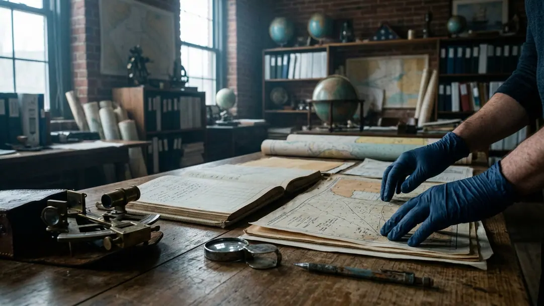
Assemble everything chronologically. A reviewer should move from a handwritten entry to the matching track segment to the relevant clearance stamp without decoding a filing system. Number the physical log pages, assign stable identifiers to digital exports, and build a master index covering departure, ocean-basin passages, principal waypoints, equipment outages, landfalls, and arrival.
Circumnavigation Evidence Dossier Check
- Bound original log contains a dated entry for every UTC day.
- Every noon entry includes position, pressure, wind, and sea state.
- Equipment failures and route deviations show start time, position, response, and resolution.
- Logbook pages scanned in colour at 300 to 400 dpi, including covers, blank pages, damaged edges, and both sides of loose documents.
- Filenames combine UTC date, evidence type, and sequence, such as 2024-08-17_track_03.gpx or 2024-08-17_log_p084.jpg, with the raw-data folder left unrenamed.
- One-page voyage chronology lists departure, final arrival, all intermediate landfalls, major cape passages, and every digital outage longer than six hours.
- Each clearance, witness statement, waypoint sequence, and track export cross-references a physical-log page.
Divide the dossier so that originals, read-only digital copies, checksum manifests, and a duplicate offline archive sit in separate sections. Never submit the sole surviving copy of any voyage record.
One recommendation stands above the rest: keep the handwritten log as though every electronic system aboard will fail, because sooner or later one of them will. Redundancy beats convenience every time a plotter drowns in the Southern Ocean. The bound log, filled in daily with pressure, wind, and sea state in a hand that changes with the weather, remains the fail-safe proof of a solo circumnavigation — the same instrument that carried Slocum's claim intact from 1898 to the present archive.